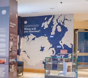
I was in the Ulster Scots Discovery Centre in Belfast city centre with our students, looking at a very large map on the wall of north east Ireland and south west Scotland. As Charles our guide talked about the map, I was sitting there thinking, ‘I’m really enjoying this great big map!’ I thought it was the size and how it had the sailing routes and islands and little towns all in lovely detail. Then I thought it might be some stirring of Ulster-Scotsness.
But no – it was actually because this was a rare kind of map: a map that doesn’t map onto national borders.
I’ve just finished a book about Cornwall, The Granite Kingdom by Tim Hannigan. This is one of the maps at the start.
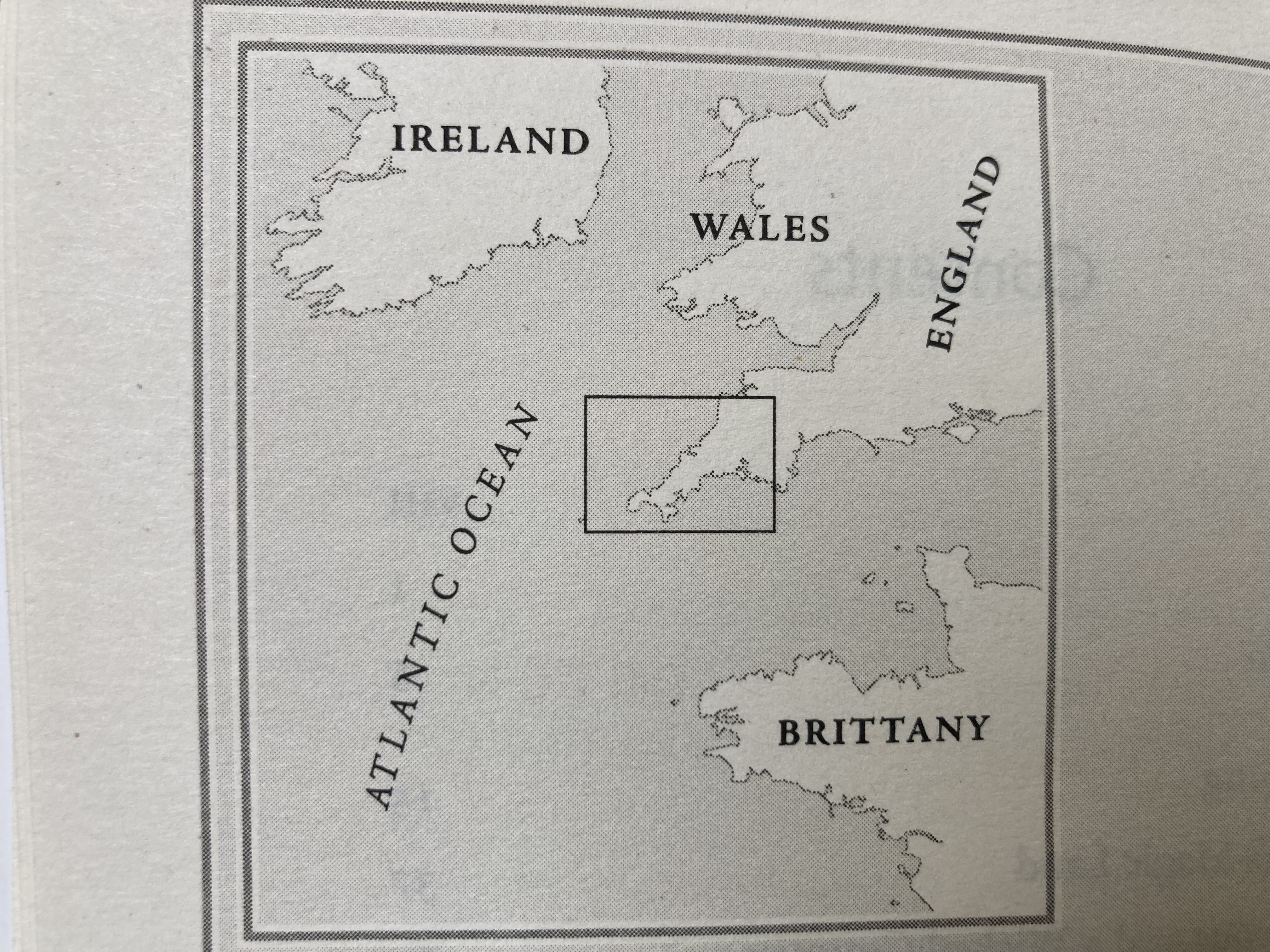
We aren’t given a map of Cornwall in England, or the UK. We’re given a map that shows Cornwall’s historic cultural, linguistic, and economic world – a network of locations enabled by sea travel and spanning Ireland, Wales, England, Cornwall, and Brittany. Those Atlantic connections, Hannigan points out, are much less active today than they were centuries ago.
This kind of map is quite mind-bending in an era of passports, visas, ‘illegal immigrants’, and ever-worsening nationalism, or what George Orwell called the ‘lunatic modern habit of identifying oneself with large power units’. I used to be struck how maps for children so often depicted animals and landmarks rather than countries, as if we’re sheltering them from an unpleasant adult secret that contra all the nice values we teach them, we’ve blocked off the earth from each other.

Leave a comment